Graduate Research Symposium 2024
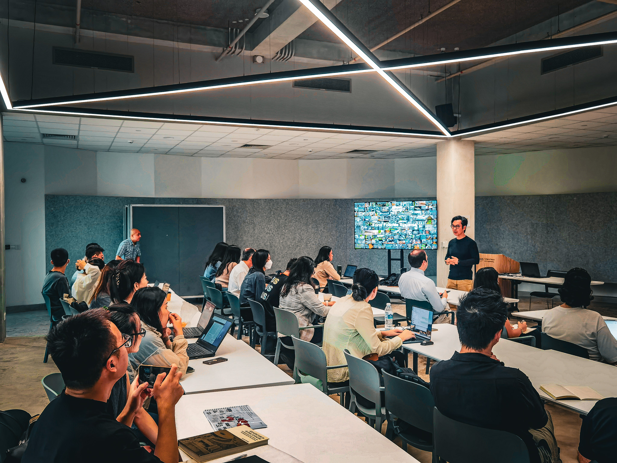
Urban Data Analytics
Time: 14:30PM – 16:30 PM
Venue: ER2, SDE4
Moderated by: Dr. Jinda Qi, Assistant Professor
Speakers:
Xiucheng Liang
Enriching Objective Properties and Public Sentiment of Building Exteriors through Street View Imagery
Abstract: In today’s rapidly evolving urban landscapes, buildings play a critical role not only as functional structures but also as central elements shaping city identity, sustainability, and public perception. Despite advancements in urban data science, many cities lack comprehensive building profiles that encompass both objective attributes—like height, function, and age—and subjective qualities tied to public perception. Addressing this gap, the research introduces frameworks that integrate objective building data with perceptual insights derived from street view imagery (SVI), yielding enriched building profiles that consider both tangible and experiential attributes. The approach is multifaceted: first, building images are extracted from SVI across cities globally. Then, individual building image is paired with objective data obtained from open sources and perceptual indicators derived from online surveys. Finally, the dataset is applied to train AI models, allowing for large-scale evaluation of building characteristics. The findings underscore the potential of models trained on visual and functional data to enrich tangible building attributes, reveal spatial patterns, and evaluate public sentiment based on building appearances. By advancing both objective profiling and perceptual analysis of buildings, this work empowers architects and urban planners with insights into the visual and functional integration of buildings within the urban fabric. Future work will expand building feature sets and adapt these insights to investigate downstream tasks such as city-scale building energy simulation, urban restoration, and human behavior studies, supporting more adaptive and responsive city planning that contributes to sustainable urban development.
Sijie Yang
Thermal Comfort in Sight: Thermal Affordance and its Visual Assessment for Sustainable Streetscape Design
Abstract: In response to climate change and urban heat island effects, enhancing human thermal comfort in cities is crucial for sustainable urban development. Traditional methods for investigating the urban thermal environment and corresponding human thermal comfort level are often resource intensive, inefficient, and limited in scope. To address these challenges, we (1) introduce the concept of thermal affordance, which represents the inherent capacity of a streetscape to influence human thermal comfort based on its visual and physical features; and (2) a method to evaluate it (visual assessment of thermal affordance — VATA), which combines street view imagery (SVI), online and in-field surveys, and statistical learning algorithms. VATA extracts five categories of image features from SVI data and establishes 19 visual-perceptual indicators for streetscape visual assessment. Using a multi-task neural network and elastic net regression, we model their chained relationship to predict and comprehend thermal affordance for Singapore. VATA predictions are validated with field-investigated OTC data, providing a cost-effective and scalable method to assess the thermal comfort potential of urban streetscape. This framework can inform streetscape design to support sustainable, livable, and resilient urban environments.
Zicheng Fan
Mapping the Visibility of Iconic Landmarks in Global Cities via Street View Imagery
Abstract: Mechanically, Street View Imagery (SVI) is a 2D projection of real-world space, covering both the foreground and background objects in an urban environment. Although SVI has been used extensively in urban research, it is typically employed to observe the foreground of a city, often overlooking distant and elevated objects in the background. This is partly because information about distant objects captured in a single SVI is incomplete and fragmented. However, some urban landmarks, characterised by their iconic height, style, or shape, may occasionally appear in street view images from different distances and urban settings, which suggests the potential for SVI to capture distant objects. Advancements in computer vision (CV) technology have opened new possibilities for using SVI to sense both the foreground and background of the urban visual environment. This project aims to explore the potential of SVI as a systematic tool for mapping distant objects from various locations and angles within the urban space. Utilising advanced language-vision models and photogrammetric methods, the research proposes an SVI-based workflow for object-based visibility analysis. Using urban landmarks as a case study, the project first focuses on SVI’s potential for detecting multiple landmarks within London, UK, and then on sensing the most famous and iconic high-rise landmarks across various global cities. Through a series of experiments, the research has demonstrated the workflow’s effectiveness. The project further aims to uncover the spatial-visual structure related to urban landmarks and explore its potential connections and interactions with human activities.
Yuan Wang
Calibration, validation, and uncertainty assessment of urban cooling models using low-cost temperature sensors: A case study in a tropical coastal city, Singapore
Abstract: Mitigating urban heat islands (UHIs), reducing heat stress, and improving thermal comfort have been important objectives for global cities suffering from urban heat islands and heatwaves, especially with increasingly severe extreme heat weather due to climate change. Although notable progress has been made, the spatial relationship between the distribution of air temperature and land use and/or land cover (LULC) patterns is still rarely understood. Moreover, data sparsity and the high cost of environmental monitoring sensors are significant challenges in environmental science and urban planning. This research presents a computational workflow to simulate the spatial distribution of high-resolution 10 m air temperature from the characteristics of LULC in urban areas. Low-cost iButton air temperature sensors, multi-source remote sensing data, and the InVEST urban cooling model were used for the case study in Singapore. The urban cooling model utilizes three biophysical mechanisms (i.e., shade, evapotranspiration and albedo) to estimate the heat mitigation capacity of the urban fabric based on spatial modelling methods. The automatic calibration through simulated annealing optimization, combined with leave-one-out validation (LOOCV) and parameter sensitivity analysis, provided robust methods to assess model performance, localize the optimal parameters, and quantify uncertainty. The spatial estimation of air temperature obtained by the model showed that the urban cooling model can accurately fit air temperature observations from monitoring stations. The biophysical parameters of the urban cooling model can help promote the understanding of how UHI occurs and the causes of spatial heterogeneity of air temperature. Moreover, only LULC and reference temperature data are required in the urban cooling model. Therefore, it can be widely used to evaluate heat mitigation capacity and estimate the specialised air temperature under different synthetic scenarios such as master plans, climate change and urbanization scenarios, which can serve to support urban planning and assist the design of heat mitigation policies.